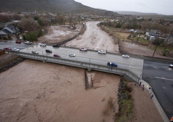
WCWCD Flood Plain Mapping
Project:
WCWCD Flood Plain Mapping
Client:
Washington County Water Conservancy District
Description:
The Flood Plain Mapping project for the Washington County Water Conservancy District was completed for all of the major waterways in Washington County. Waterways include: Ash Creek, La Verkin Creek, Santa Clara River, and Virgin River. Flood limits were delineated for 100-year storm events using a water-surface profile computation model.
Pictures:


